Brainerd MN Bike Trails: Cuyuna Mountain Bike Trail System
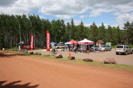
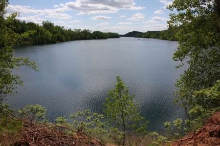
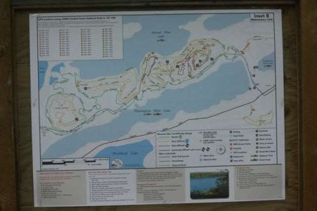
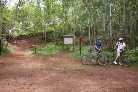
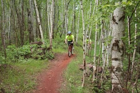
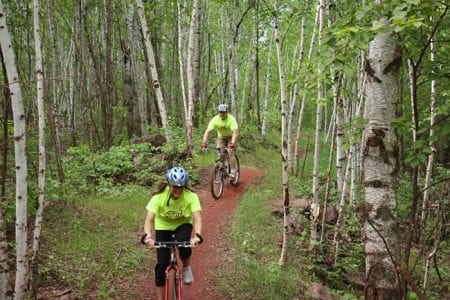
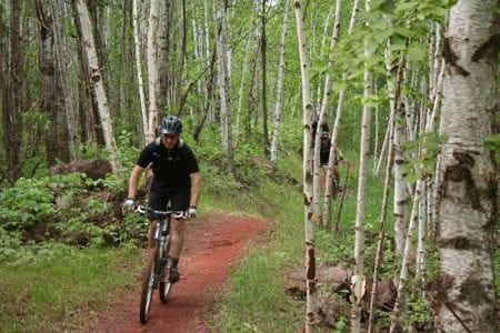
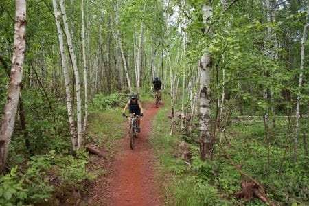
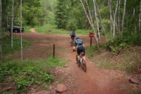
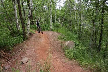
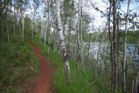
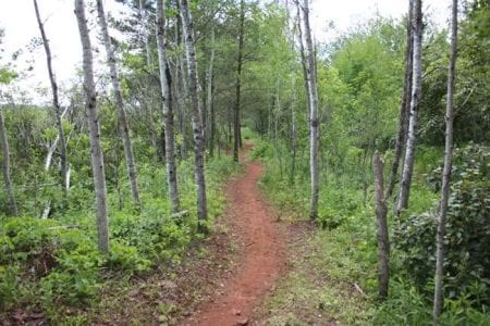
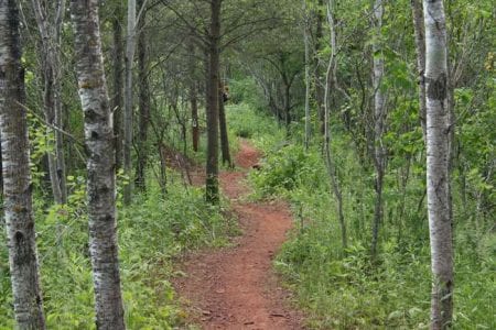
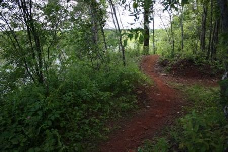
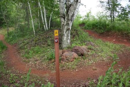
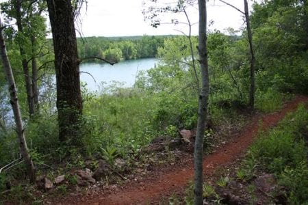
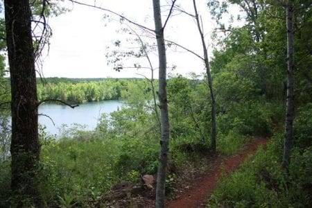
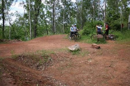
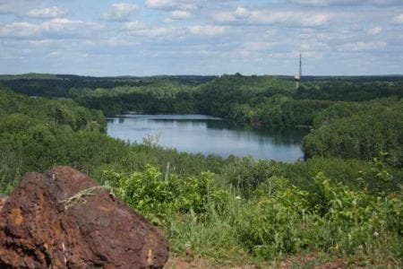
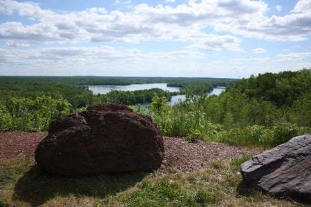
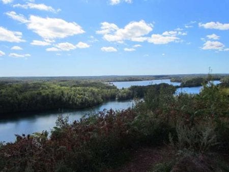
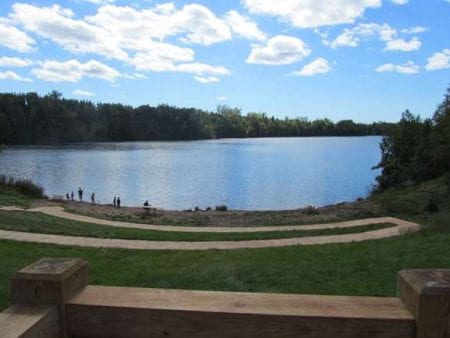
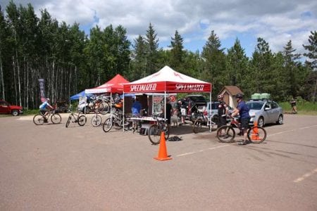
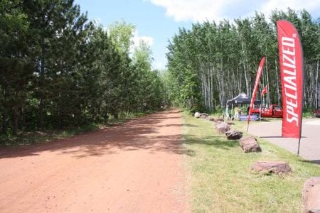
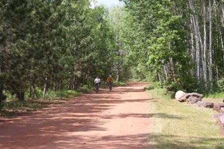
The Cuyuna Mountain Bike Trail System, the newest addition to the Cuyuna Country State Recreation Area (CCSRA), officially opened in June of 2011. The trail system currently includes 25 miles of mountain bike trails. The trail system's four different levels of difficulty, ranging from "Easiest" to "Extremely Difficult", ensures bikers of all levels will find trails they can enjoy. The trails cover nearly 800 acres. They are well marked and include overlook points with breathtaking views, EMS access points, and 54 GPS location markers as they wind through the rocky terrain from Manuel Mine Lake on the east to Huntington Mine Lake on the west. The trail head parking lot is located right by CCSRA's historic Croft Mine.
Open Daily from 8:00 am to 10:00 pm
Download and Print Mountain Bike Trail Map (PDF, 2.5 MB)
Map Courtesy of MN DNR
Driving Directions: How to get to the Cuyuna Mountain Bike Trail System:
Download & Print Driving Directions
Coming from the south, Twin Cities area Via I-94 to 371
- Take the Highway 371 Business exit just a couple miles past the Welcome Center
- Continue on 371 Business through downtown Brainerd to the old historical water tower, located at the 371 business and Hwy 210 intersection.
- Take a Right onto Hwy 210 and continue on 210 all way to Ironton.
- As you approach Ironton, on the left you should see a big sign with a cyclist on it.
- Keep an eye out for Co Hwy 30/Irene Ave on your right; take that right onto Hwy 30/Irene Ave. and continue North.
- You will approach a stop sign, continue after the stop sign.
- You will see a “Y”. Keep left on Portsmouth Mine Road. You should see a paved bike trail crossing here. (That is Cuyuna Lakes State Trail.)
- Continue on Portsmouth Mine Road. After about half a mile or so, you will see a curve. At the curve, on the left you will see parking. You can park here or continue on the curve to other parking spots.
- If you keep going you will see on the right is a paved parking lot which also is boat landing. You can park here or continue on the red gravel road.
- If you go on the red gravel road, you will approach a “Y”. If you continue on the left, it will take you all the way to top of Miner’s Mountain where you can also park on the top of the mountain.
Coming south from Twin Cities area Via Hwy 169
- As you enter Garrison, take the left to Hwy 18.
- Continue on 18 for approximately 4.3 miles. You will come to Hwy 6, which will be on your right.
- Take Hwy 6 North toward Deerwood.
- Stay on Hwy 6 through Deerwood. It will lead you all way to Crosby.
- As you go through Crosby, you will approach the stop sign intersecting Hwy 6 and 210. Take a left onto Hwy 210.
- Drive approximately 1.3 miles through Ironton.
- Keep an eye out for Co Hwy 30/Irene Ave on your right; take that right onto Hwy 30/Irene Ave. and continue North.
- You will approach a stop sign, continue after the stop sign.
- You will see a “Y”. Keep left on Portsmouth Mine Road. You should see a paved bike trail crossing here. (That is Cuyuna Lakes State Trail.)
- Continue on Portsmouth Mine Road. After about half a mile or so, you will see a curve. At the curve, on the left you will see parking. You can park here or continue on the curve to other parking spots.
- If you keep going you will see on the right is a paved parking lot which also is boat landing. You can park here or continue on the red gravel road.
- If you go on the red gravel road, you will approach a “Y”. If you continue on the left, it will take you all the way to top of Miner’s Mountain where you can also park on the top of the mountain.
Coming from Duluth Via Hwy 210/169
- As you enter Aitkin, continue on hwy 210 to Crosby
- Take a left at the stop sign intersecting Hwy 6 and 210
- Take a left on Hwy 210; drive approximately 1.3 miles through Ironton
- Watch out for Co Hwy 30/Irene Ave. on your right; take that right on Hwy 30/Irene Ave. and continue North.
- You will approach a stop sign, continue after the stop sign
- You will see a “Y”. Keep left on Portsmouth Mine Road. You should see a paved bike trail crossing here. (That is Cuyuna Lakes State Trail.)
- Continue on Portsmouth Mine Road. After about half a mile or so, you will see a curve. At the curve, on the left you will see parking. You can park here or continue on the curve to other parking spots.
- If you keep going you will see on the right is a paved parking lot which also is boat landing. You can park here or continue on the red gravel road.
- If you go on the red gravel road, you will approach a “Y”. If you continue on the left, it will take you all the way to top of Miner’s Mountain where you can also park on the top of the mountain.

